Interior LiDAR Scanning + VR Tours
High-Accuracy LiDAR Point Cloud Scanning and 360 VR Virtual Tours
At our office, LiDAR drone survey mapping is more than just data collection—it’s a transformative approach to understanding and shaping the physical world with unmatched precision. We provide end-to-end aerial mapping solutions that empower industries to make smarter, faster, and more informed decisions.
Popular Use-Cases:
-
Real-Estate Property Promotion
3D virtual tours for remote sales marketing
-
Architecture and Interior Design
Generation of Floor Plans and Models and starting designing faster and more accurately
-
Construction QAQC
Verify as-built conditions against the design model or drawings to centimeter accuracy
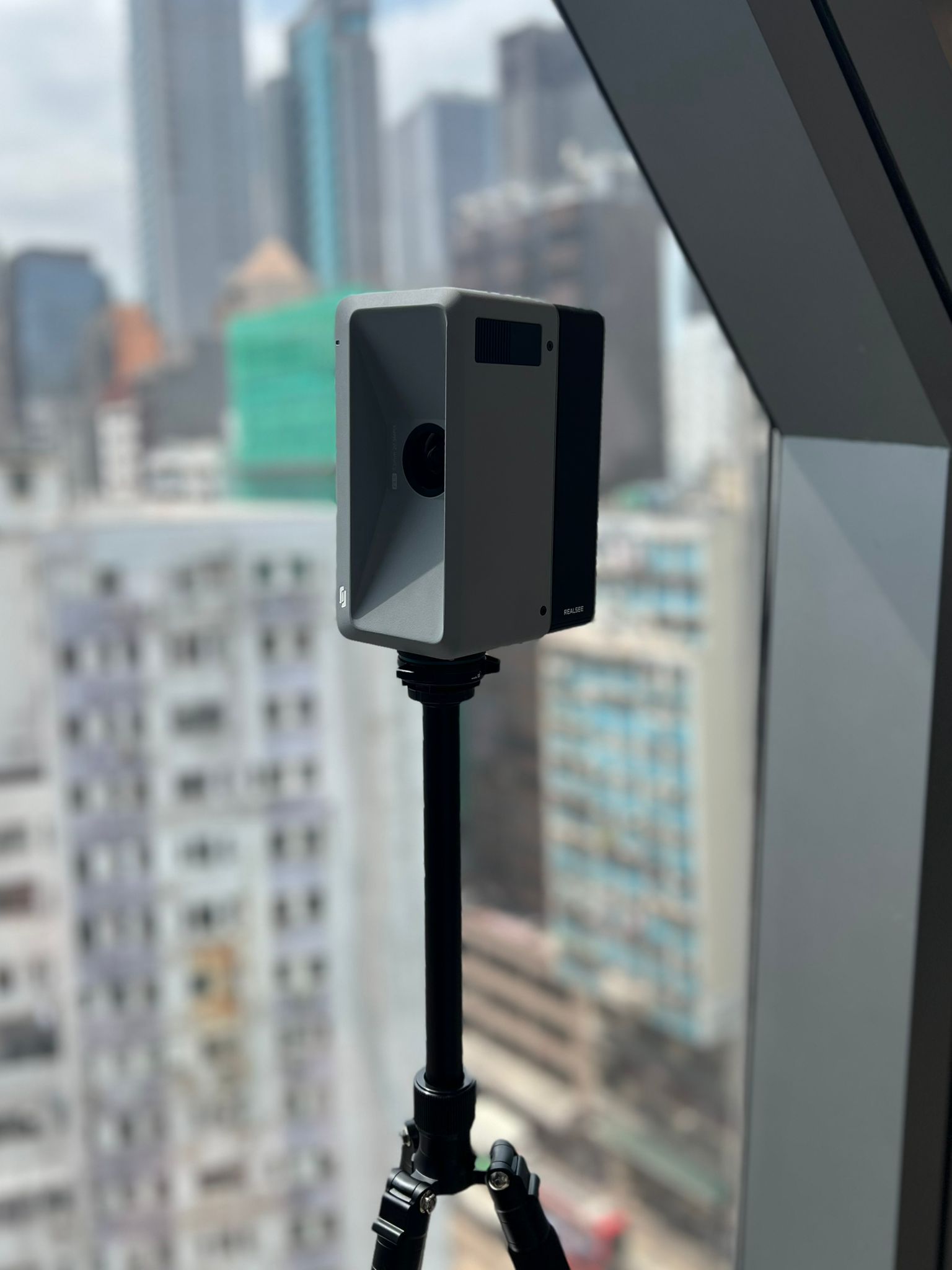
Interior Precision: LiDAR Scanning & Digital Twins
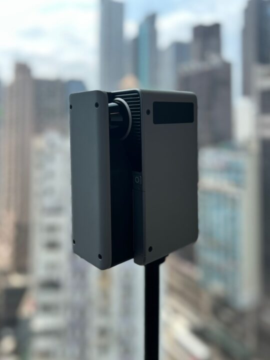
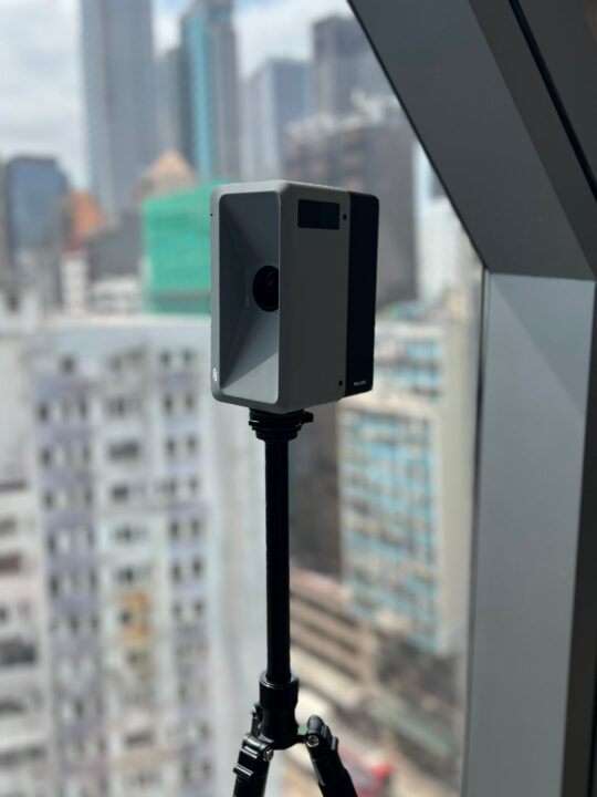
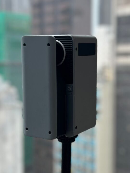
While our drone fleet captures the world from above, our RealSee Galois Laser Scanner brings that same high-level precision indoors. By integrating professional-grade LiDAR scanning into our workflow, we transform physical spaces into rich, intelligent digital assets.
Whether you need a rapid site survey for a new project or a high-end virtual showcase, we provide the data you need to design, build, and market with confidence.
Our Interior Data Services
We don’t just capture points; we create usable solutions. Our RealSee Galois technology allows us to deliver:
-
Scan to Plan: Rapidly generate highly accurate 2D floor plans and site layouts from 3D data.
-
Scan to BIM: Create Revit-ready models that serve as a “true-to-life” foundation for architectural and engineering workflows.
-
Scan to 3D Model: High-fidelity mesh and CAD models for renovation, interior design, and spatial analysis.
-
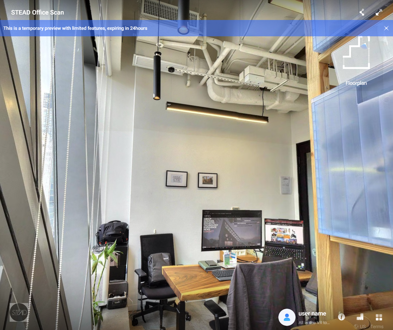
3D Virtual Tours: Immersive, 8K-resolution walkthroughs that allow stakeholders to navigate a space remotely with stunning clarity.
Why Work With Us?
By leveraging the RealSee Galois alongside our existing drone expertise, we offer a “Total Reality Capture” solution:
-
Speed & Accuracy: We can capture an existing space in a fraction of the time required by traditional manual measurements, reducing site visits and human error.
-
Internal Project Efficiency: We use this technology on our own projects to ensure our designs are built on a perfect digital foundation.
-
A Unified View: In collaboration with our sister company, Hokkaido Drone Services (HDS), we can merge indoor LiDAR data with our aerial DJI Matrice 350RTK scans to provide a seamless digital twin—from the property boundary to the interior finishes.